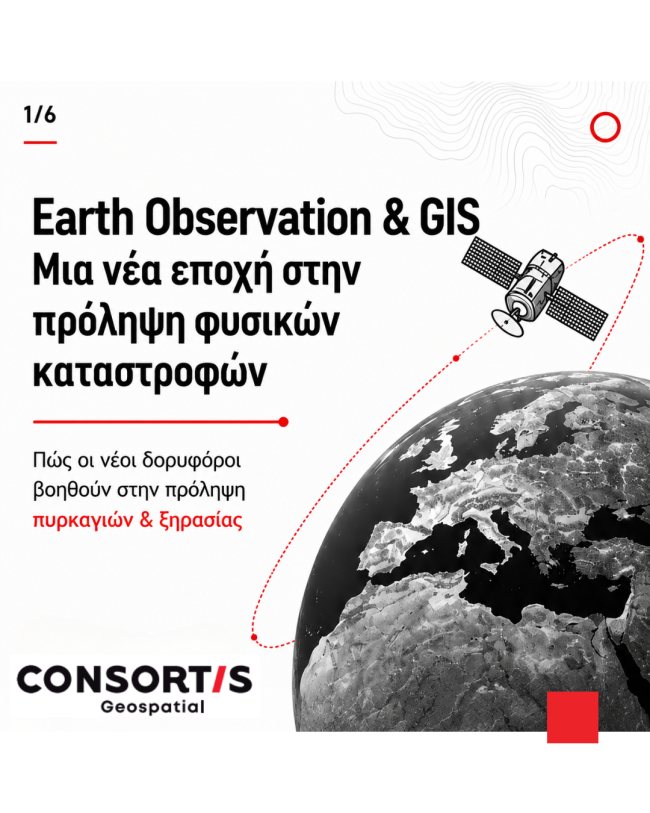
Earth Observation & GIS: A New Era in Natural Disaster Prevention
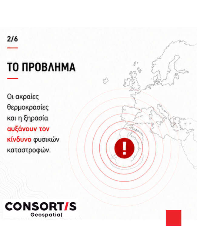
Climate change is increasing the frequency and intensity of droughts, wildfires and other natural hazards. As these challenges grow, access to reliable, continuously updated Earth Observation data has become more important than ever.
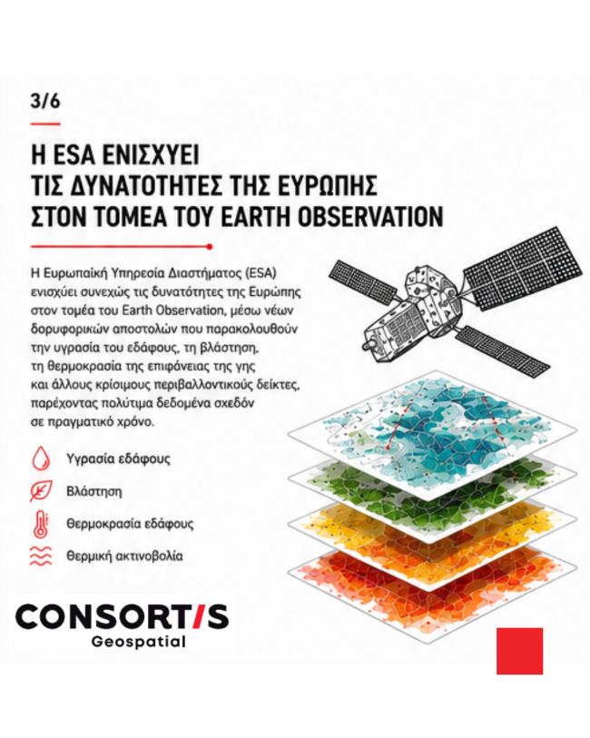
The European Space Agency (ESA) continues to strengthen Europe's Earth Observation capabilities through new satellite missions that monitor soil moisture, vegetation, land surface temperature and other critical environmental indicators, providing valuable information in near real time.
But satellite data alone is not enough.
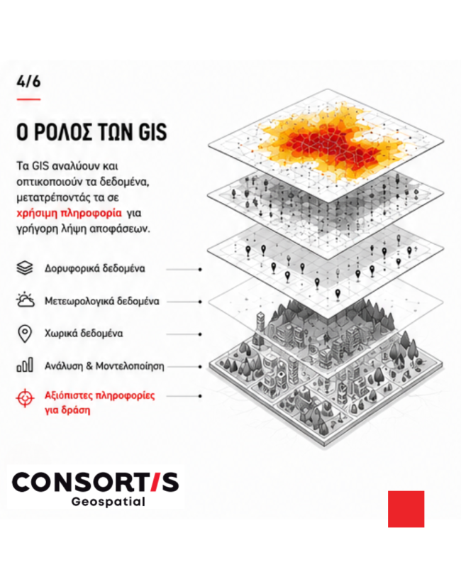
Geographic Information Systems (GIS) transform Earth Observation data into actionable intelligence by combining satellite imagery with meteorological and geospatial information to:
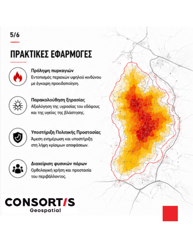
- identify areas at increased risk of drought
- support wildfire risk assessment and monitoring
- provide near real-time situational awareness during emergencies
- support Civil Protection authorities with informed decision-making
- assess post-event impacts and support recovery planning
The true value of Earth Observation lies not only in collecting data, but in transforming it into meaningful insights that help protect communities, manage natural resources and strengthen climate resilience.
At Consortis Geospatial, Earth Observation and GIS work together to transform satellite data into actionable intelligence.
Through the expertise of our Earth Observation Department, and in close collaboration with our GIS & Applications Departments, we successfully completed our contribution to Sat4GAIA – Axis 3: Land Monitoring Services, part of the Greek National Satellite Programme coordinated by the European Space Agency (ESA), with project completion on 30 June 2026. https://consortis-geo.gr/en/projects
Within the project, our teams developed advanced geospatial services and algorithms for land use and land cover mapping, change detection, precision agriculture applications and disaster risk management, enabling satellite-derived information to be transformed into practical tools that support public authorities in environmental monitoring, climate resilience and informed decision-making.
By combining Earth Observation, GIS and Artificial Intelligence, Consortis Geospatial delivers integrated geospatial solutions that help organizations better understand, monitor and manage our changing environment.