NEWSROOM CONSORTIS




Latest news from around the business
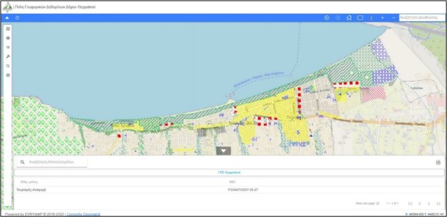
In the framework of the project "Design and Development Services for Geospatial Data Disclosure System", our company has developed the system for the display, disclosure and management of geospatial data of the Municipality of Thermaikos.
Through the application, in addition to the urban planning data that can be obtained by engineers and interested citizens, it is possible to view and download tables, data of Implementation Acts (diagrams, decisions and verbal) and data of the Municipality.
With the percentage of unknown or incompletely recorded real estate reaching 80%, the need for the Municipality of Chalkidona to digitize its real estate, was created.
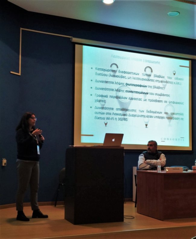
Consortis Geospatial team, in the framework of the 12th Panhellenic Conference, organized by the Hellenic Society of Geographic Information Systems (HellasGIs), presented the Mobiroad web application, a system for recording and managing fixed assets and road network failures.
The 12th HellasGIs Panhellenic Conference took place in Athens, on December 1 & 2.

The past year has been marked by a series of successive conjunctures of increased hope for overcoming the pandemic, while lately, after the waves of health crisis and restrictions, we experience a strong energy crisis.
Nevertheless, the growth indicators show a positive course and form forward-looking conditions for those economic agents who have shown flexibility while trying to adapt to the volatile data of the time.
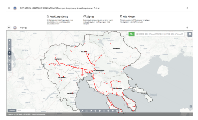
Consortis Geospatial’s team completed the development of the expropriation management system of the Region of Central Macedonia, in the framework of the project "DIGITIZATION OF THE EXPROPRIATION ARCHIVE OF THE HELLENIC BROADCASTING CORPORATION OF GREECE".
Engineers and interested citizens can now browse the application, search for the expropriation they wish or submit an electronic application for the documents of the file of an expropriation.